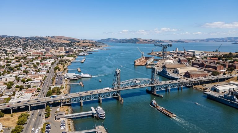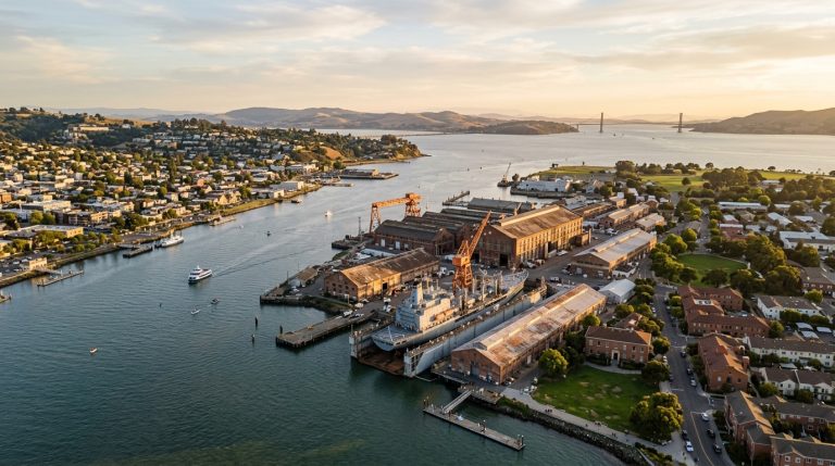
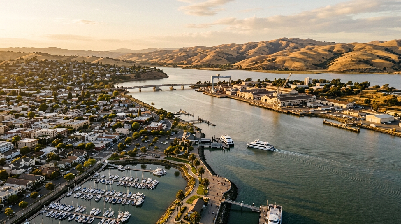
Vallejo’s waterfront has always been one of the city’s strongest geographic assets. It connects downtown to Mare Island Strait, provides access to San Francisco Bay Ferry service, and creates one of the most recognizable public spaces in the city. In 2026, the waterfront is receiving renewed attention as Vallejo works on a new planning framework intended to guide how this important part of the city evolves.
The timing matters. Vallejo is not simply discussing a cosmetic waterfront makeover. The city’s Waterfront Specific Plan process is intended to address land use, mobility, infrastructure, housing, equity, economic development, and environmental sustainability. At the same time, local leaders have discussed maritime industry and shipbuilding infrastructure as possible pieces of a broader economic strategy.
For residents, property owners, local businesses, and visitors, the result could influence how downtown Vallejo connects with the bay for years to come. It could also affect how people move through the area, where new activity is concentrated, and how Vallejo balances public waterfront access with jobs, housing, transportation, recreation, and investment.
That does not mean every concept being discussed today will ultimately be built. Planning processes can change as environmental review, community input, financing, infrastructure requirements, and City Council decisions move forward. Still, the waterfront conversation is one of the most important local development stories to watch in Vallejo.
Why Vallejo’s Waterfront Is Back in Focus
The city is preparing a new Vallejo Waterfront Specific Plan that would replace the older Waterfront Planned Development Master Plan and Design Guidelines adopted in 2005. A planning framework created more than two decades ago may not fully reflect today’s housing pressures, transportation needs, environmental priorities, business environment, or expectations for accessible public spaces.
According to the City of Vallejo’s Waterfront Specific Plan, the current project is intended to create a community-supported and implementable plan. Instead of viewing the waterfront as one isolated development property, the process considers how land use, mobility, housing, infrastructure, economic activity, equity, and environmental issues work together.
A New Chapter for Waterfront Planning
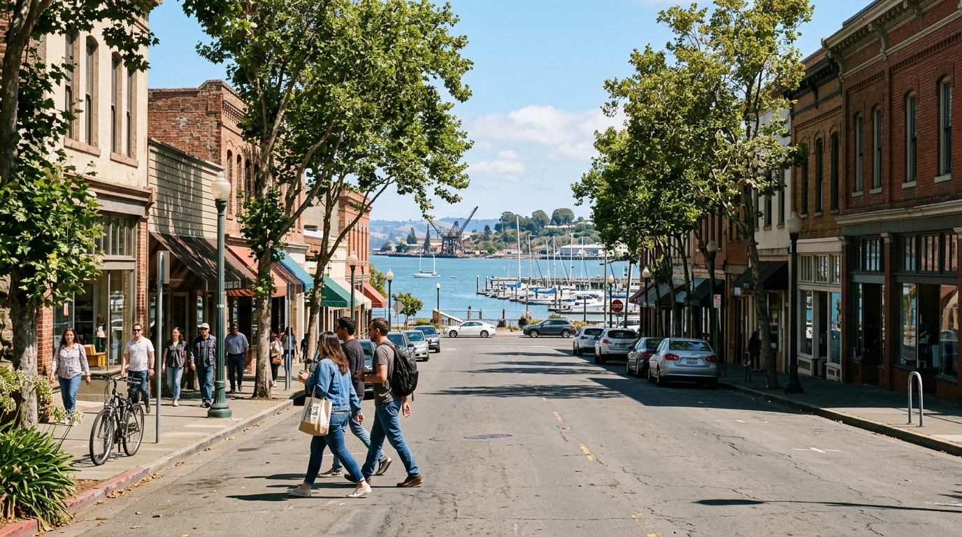
A successful waterfront plan has to answer several questions at once. Where should new housing or commercial activity fit? How should people move between downtown, the ferry terminal, public spaces, and surrounding neighborhoods? Which areas should continue supporting employment or maritime activity? How can Vallejo encourage development without losing the qualities that make its waterfront distinctive?
Those questions make the project relevant even to residents who do not usually follow planning documents. Decisions involving streets, sidewalks, parking, public spaces, building locations, transit connections, and land uses can eventually influence whether an area feels convenient, active, welcoming, or disconnected.
What the Specific Plan Is Designed to Address
The city identifies a wide range of issues within the Waterfront Specific Plan process, including mobility, infrastructure, housing, equity, economic development, and environmental sustainability. That broad scope is important because Vallejo’s waterfront is more than a scenic destination. It is also part of the city’s transportation network, economy, downtown environment, and everyday public realm.
For example, improved pedestrian connections could make it easier to combine a downtown visit with time near the water. New development could bring activity to underused areas. Better public spaces could encourage residents to spend more time along the shoreline. Infrastructure planning will also help determine which concepts are realistic and which require significant investment before they can advance.
Visitors who want to experience the area today can start with the Vallejo attractions directory and build a day around downtown, the waterfront, and nearby destinations.
Why Maritime Uses Are Part of the Conversation
Vallejo’s relationship with maritime work is not new. The city’s waterfront geography and Mare Island’s long industrial history make marine industries a natural part of local economic discussions. In April 2026, Vallejo leaders publicly discussed a waterfront revitalization strategy that included shipbuilding infrastructure and broader economic growth.
That does not mean Vallejo’s future waterfront would become exclusively industrial. Instead, it highlights one of the city’s major planning challenges: public access, recreation, transportation, housing, jobs, environmental needs, and working-waterfront uses may all need to coexist within the same broader district.
A waterfront that supports employment can play a different economic role from one designed entirely around restaurants or recreation. If planned carefully, different uses can complement one another rather than compete.
This is also why Mare Island remains closely connected to the discussion. Mare Island has its own long-range planning process, historic resources, infrastructure needs, residential areas, employment centers, and redevelopment opportunities. What happens on one side of Mare Island Strait can affect how residents and visitors experience the other.
What Revitalization Could Change for Residents and Visitors
The most noticeable improvements may eventually come from better connections rather than one enormous landmark development. Vallejo already has several valuable pieces within a relatively compact area: downtown streets, a waterfront promenade, ferry service, views toward Mare Island, local restaurants, community businesses, historic architecture, parks, and public spaces.
The challenge is making those pieces feel like parts of one connected district.
Better Connections Between Downtown and the Waterfront
One opportunity is creating a more natural flow between downtown Vallejo and the bay. Someone visiting downtown for lunch should feel encouraged to continue toward the waterfront. A passenger arriving by ferry should be able to quickly understand where downtown begins and what is within walking distance. Residents attending an event should see the waterfront as an easy extension of the same outing rather than an unrelated destination.
Improved connectivity can also benefit local businesses because it gives people more reasons to remain in the area. A waterfront walk can lead to coffee. A ferry trip can become lunch downtown. A community event can turn into an afternoon exploring shops, public art, historic buildings, or nearby open spaces.
If you are planning a local day out now, browse restaurants in Vallejo or explore Vallejo coffee shops, then add a waterfront walk before or after your stop.
A Stronger Mix of Everyday Uses
The strongest waterfront districts usually work for more than one type of visitor. They can serve commuters in the morning, employees throughout the workday, residents in the afternoon, families on weekends, and visitors during festivals or special events. A balanced mix of uses can also prevent an area from feeling empty outside a few peak hours.
For Vallejo, that could mean finding the right combination of employment, public open space, housing, transportation, dining, culture, recreation, and community services. The exact balance remains part of the planning process, but the long-term opportunity is to create a waterfront that functions for local residents rather than serving only as a scenic backdrop.
Outdoor access will be especially important. Vallejo’s relationship with the bay is one of the characteristics that separates it from many inland communities. Protecting views, walkability, shoreline access, gathering spaces, and connections to the water can reinforce the city’s identity while still allowing thoughtful investment.
For additional outdoor ideas around the city, explore the Vallejo parks and outdoors directory.
How to Experience the Vallejo Waterfront While the City Plans Its Future
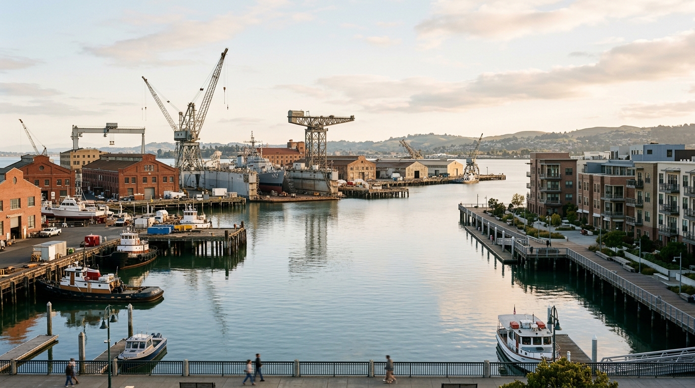
You do not need to wait for future construction to appreciate what Vallejo’s waterfront already offers. In fact, one of the best ways to understand the current planning conversation is simply to spend time in the area and notice how downtown, the ferry terminal, waterfront promenade, Mare Island Strait, and nearby streets connect today.
Build a Local Day Around the Waterfront
Start near downtown and walk toward the water instead of treating the waterfront as a drive-in, drive-out destination. Walking the area gives you a clearer sense of the distances between local businesses, transit, public spaces, parking, and the shoreline.
Once you reach the waterfront, spend some time along the promenade and look across Mare Island Strait toward Mare Island. The view makes it easier to understand why maritime history, ferry transportation, downtown revitalization, and Mare Island redevelopment are closely connected topics.
You can then build the rest of your day around your interests. Pair the waterfront with a restaurant or café, explore local attractions, visit another part of downtown, or continue toward a park or open space.
If you are coming from outside the area and want more time to explore, the Vallejo hotels and stays directory can help you plan an overnight visit while keeping the waterfront, downtown, and other Vallejo attractions within reach.
It is also worth following official City of Vallejo planning updates instead of relying entirely on conceptual renderings or social media summaries. Specific plans develop over time. Community meetings, environmental review, infrastructure analysis, public comments, and future approvals can change individual proposals before construction occurs.
Vallejo Vibes
For Vallejo Vibes, the waterfront is exactly the kind of local story worth following because it sits at the intersection of lifestyle, transportation, business, history, development, recreation, and community identity.
The strongest outcome would not simply make Vallejo’s waterfront look newer. It would make the area easier to use, more closely connected with downtown, supportive of local economic activity, accessible to residents, and unmistakably Vallejo.
As the 2026 planning process continues, residents have good reason to pay attention. The waterfront is already one of the city’s defining spaces. Decisions being discussed today could influence how well it serves Vallejo’s next chapter.